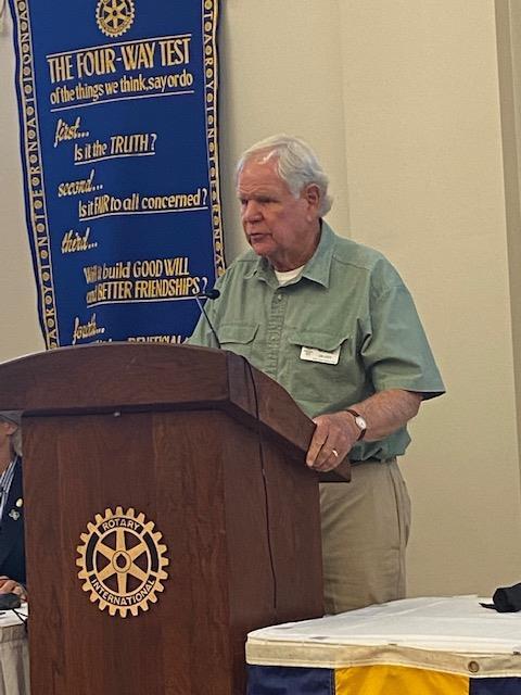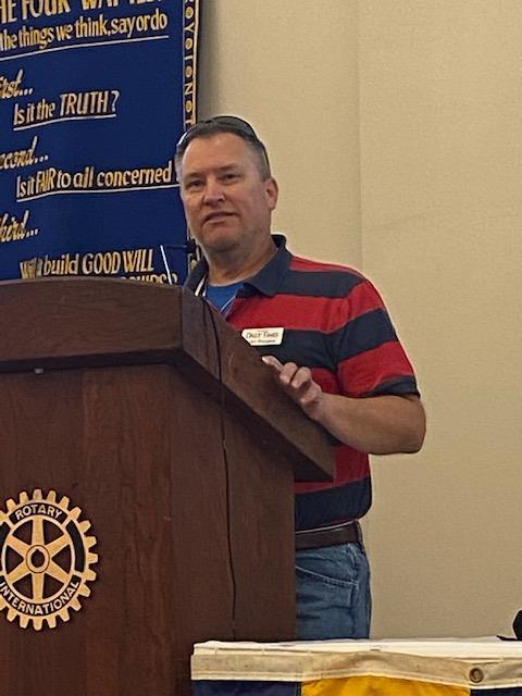

Clint introduces Cary Burgess
Cary is Meteorologist for Kerrville Daily Times, KRVL, The Buck and Mike FM in Kerrville
KCBD-TV Lubbock. His nickname is Dr Doppler!
KCBD-TV Lubbock. His nickname is Dr Doppler!
Cary said the Sheriff often contacts him to find news on possible hail storms heading our way.
He said El Paso has had more rain than Kerr County our YTD is only 5.28". Last drought was in 2011 and we had 14" total that year.
The official weather report is from the USDA. The rain gauge and wind speed in Kerrville.
What is causing the pattern is high pressure that causes sinking air and no rain.
On Average the wettest month is May and at second place is September.
He said we are going into a triple La Nina. See link below for more info. https://thehill.com/homenews/nexstar_media_wire/3559861-why-a-triple-dip-la-nina-could-be-bad-news/
The North American Mesoscale Model (NAM) is a numerical weather prediction model run by National Centers for Environmental Prediction for short-term weather forecasting. Currently, the Weather Research and Forecasting Non-hydrostatic Mesoscale Model (WRF-NMM) model system serves as the dynamical core of the NAM model. The WRF replaced the Eta model on June 13, 2006.[1] The NAM is run four times a day (00, 06, 12, 18 UTC) out to 84 hours, with 12 km horizontal resolution and with three-hour temporal resolution, providing finer detail than other operational forecast models. Its ensemble is known as the Short Range Ensemble Forecast (SREF) and runs out 87 hours.
The above model is what National Weather uses along with the Europe Model and a few others.


